Hiking the Chelan Lakeshore Trail has been on my bucket list for as long as I’ve known it existed.
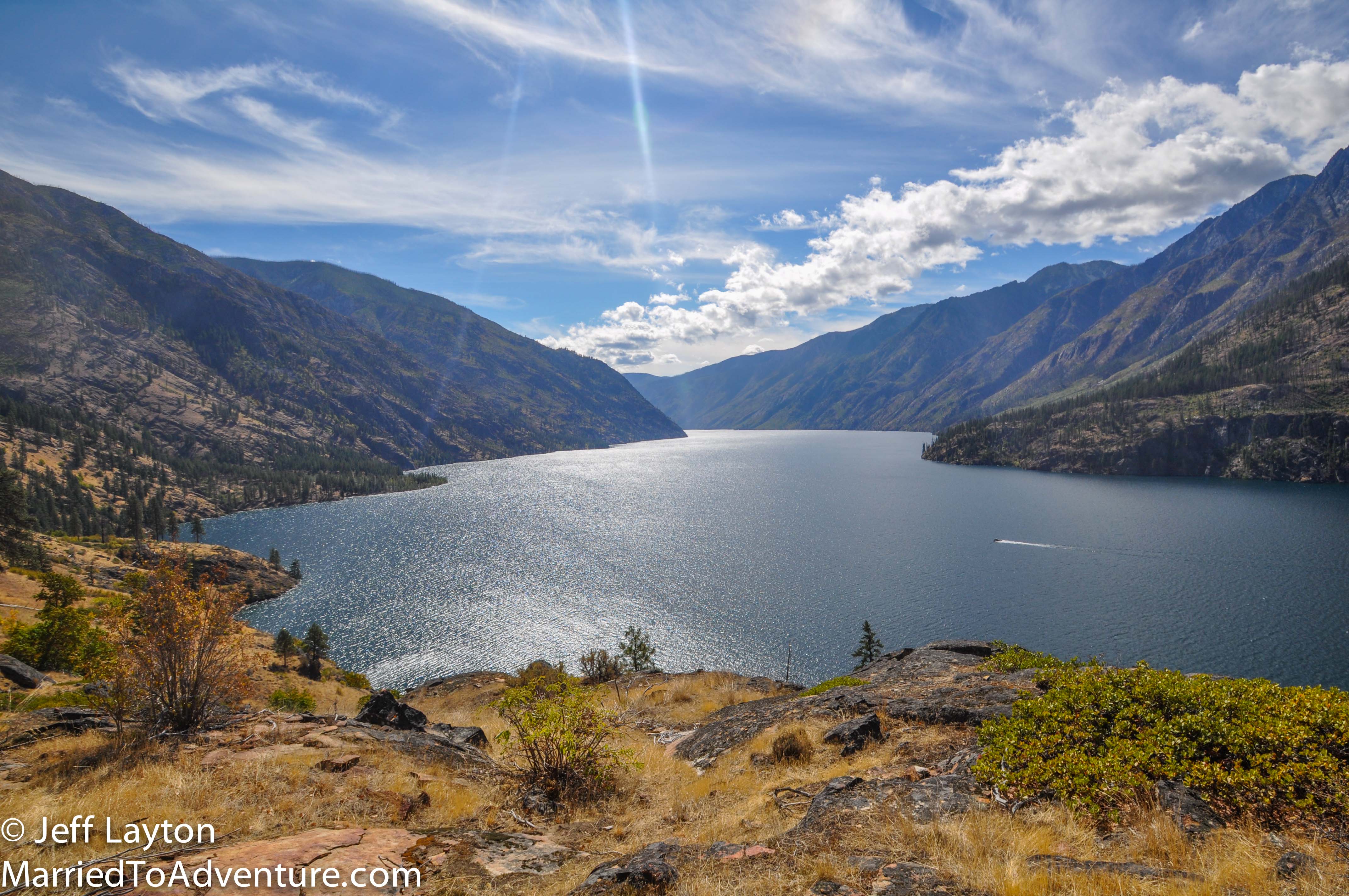
This gem of a spot in central Washington has some eye-popping stats. It’s the nations’s 3rd deepest lake (after Tahoe and Crater Lake). Even though it’s in the mountains, it’s so deep that much of it is below sea level. If you took all the water out and spread it across the entire state, it would cover Washington with several inches of water.
The lake stretches 50 miles from the town of Chelan to the North Cascades. The only way to reach the tiny homestead community of Stehekin at the end of the lake is by foot, boat or plane.
Most people survey the lake aboard the Lady of the Lake ferry which is an all day adventure and sails from Chelan’s arid rolling hills into the dramatic reaches of the the Chelan Mountains and the start of the North Cascades.
The hiking route is the slow road. It allows you to navigate the cracks and crevices along the way, spending the night at some pristine lakeshore campsites along the way.
The 17-mile hike can be done in 2-3 days depending on how fast you want to travel. From the finish line, you can ride the ferry back to Chelan or connect to more trails in the North Cascades.
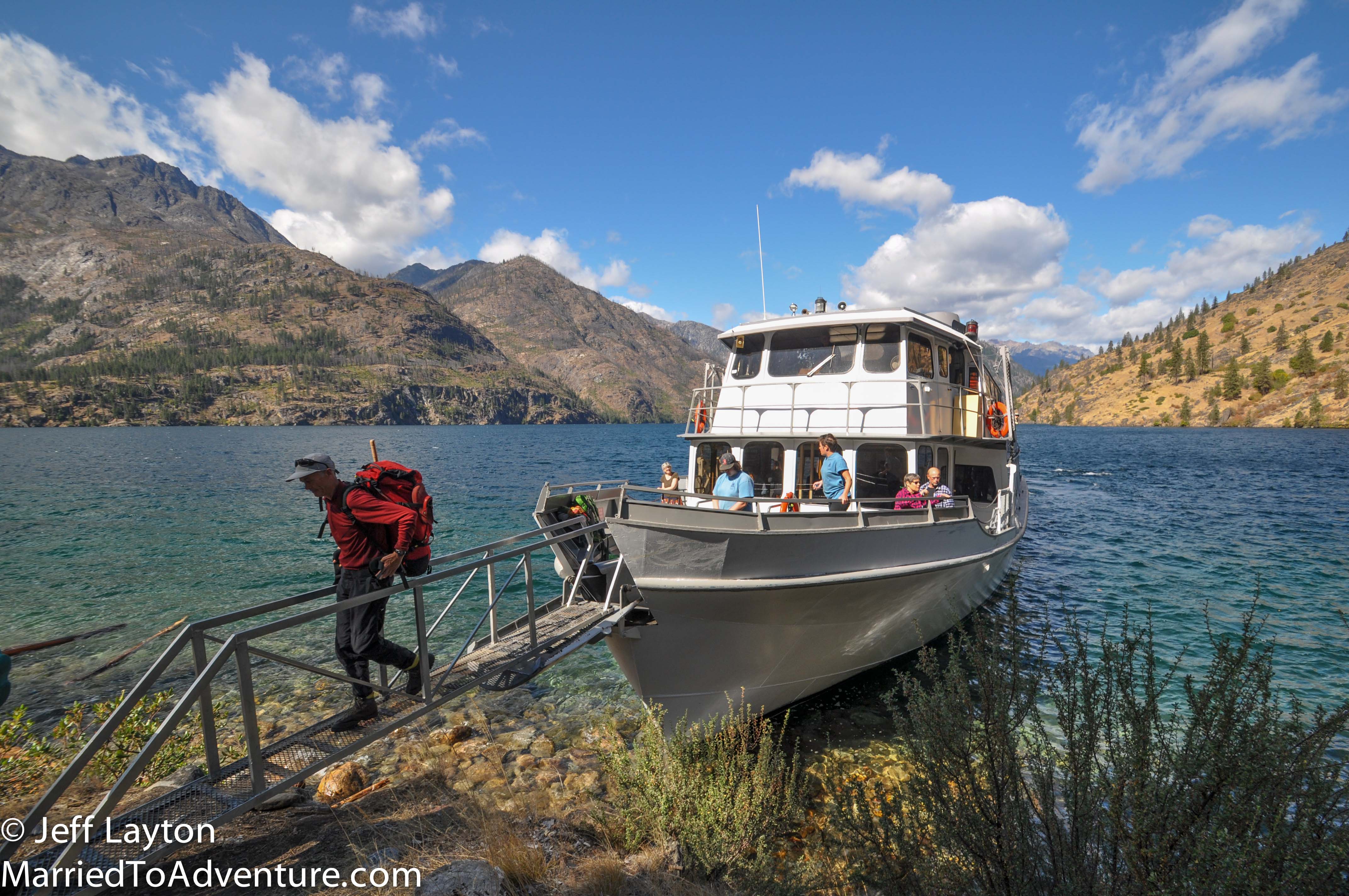
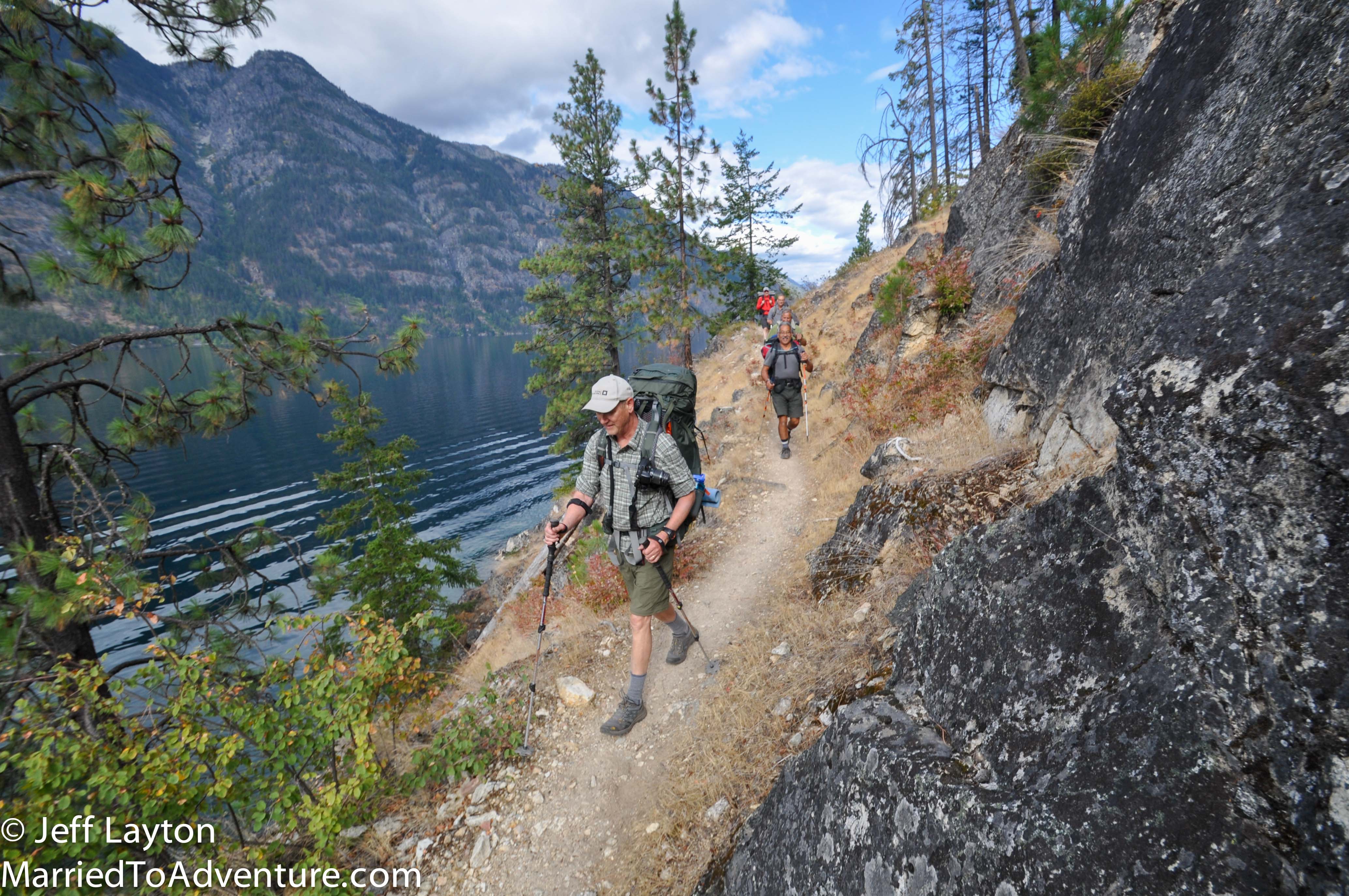
Hikers ride the Lady of the Lake II ferry (the slow boat) about 2/3 of the way uplake from Chelan to Prince Creek where they disembark and begin hiking. From here it’s 17 miles through National Forest and wilderness to Stehekin. It’s also possible to do a shorter version by getting off at Moore Point.
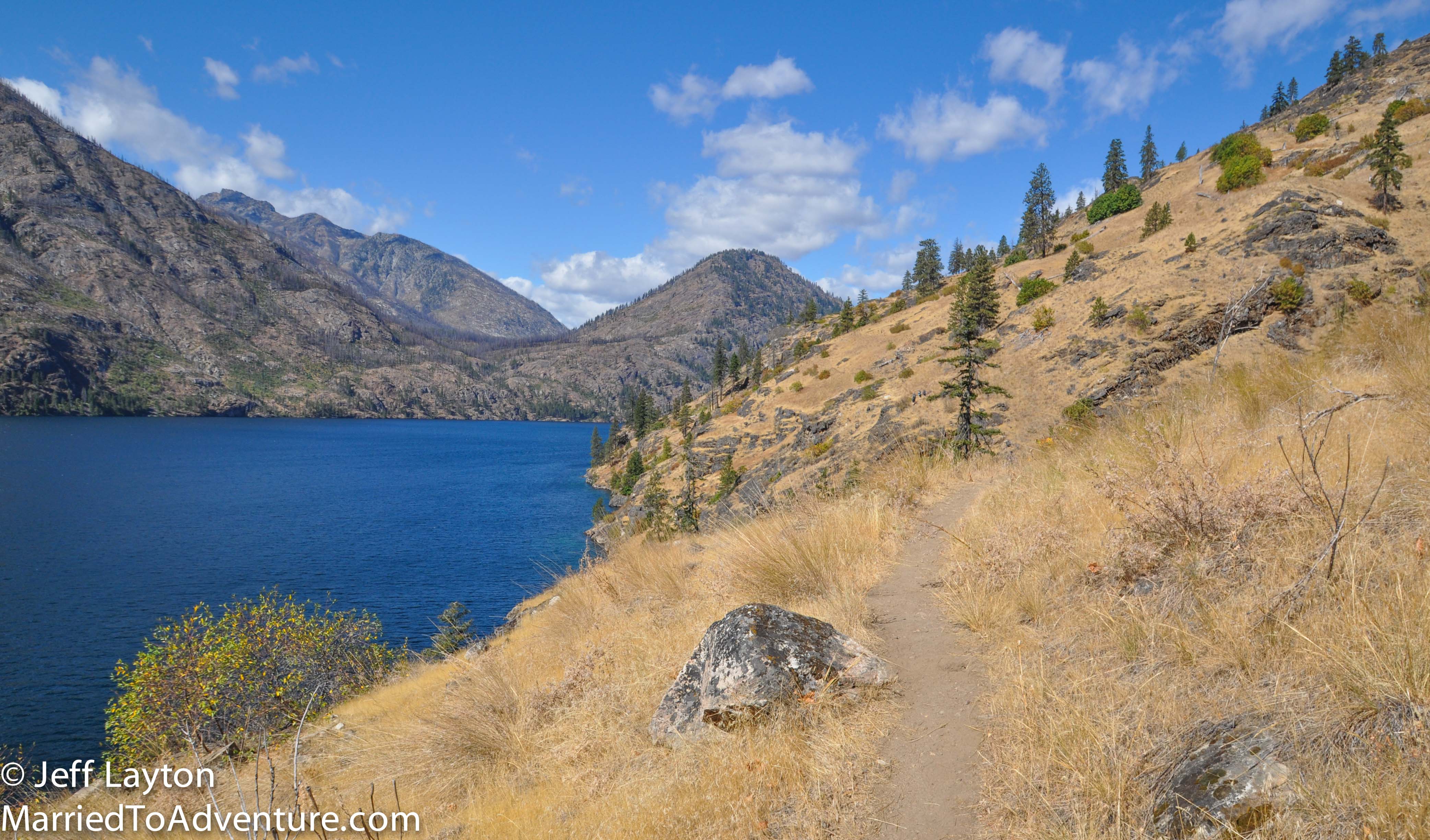
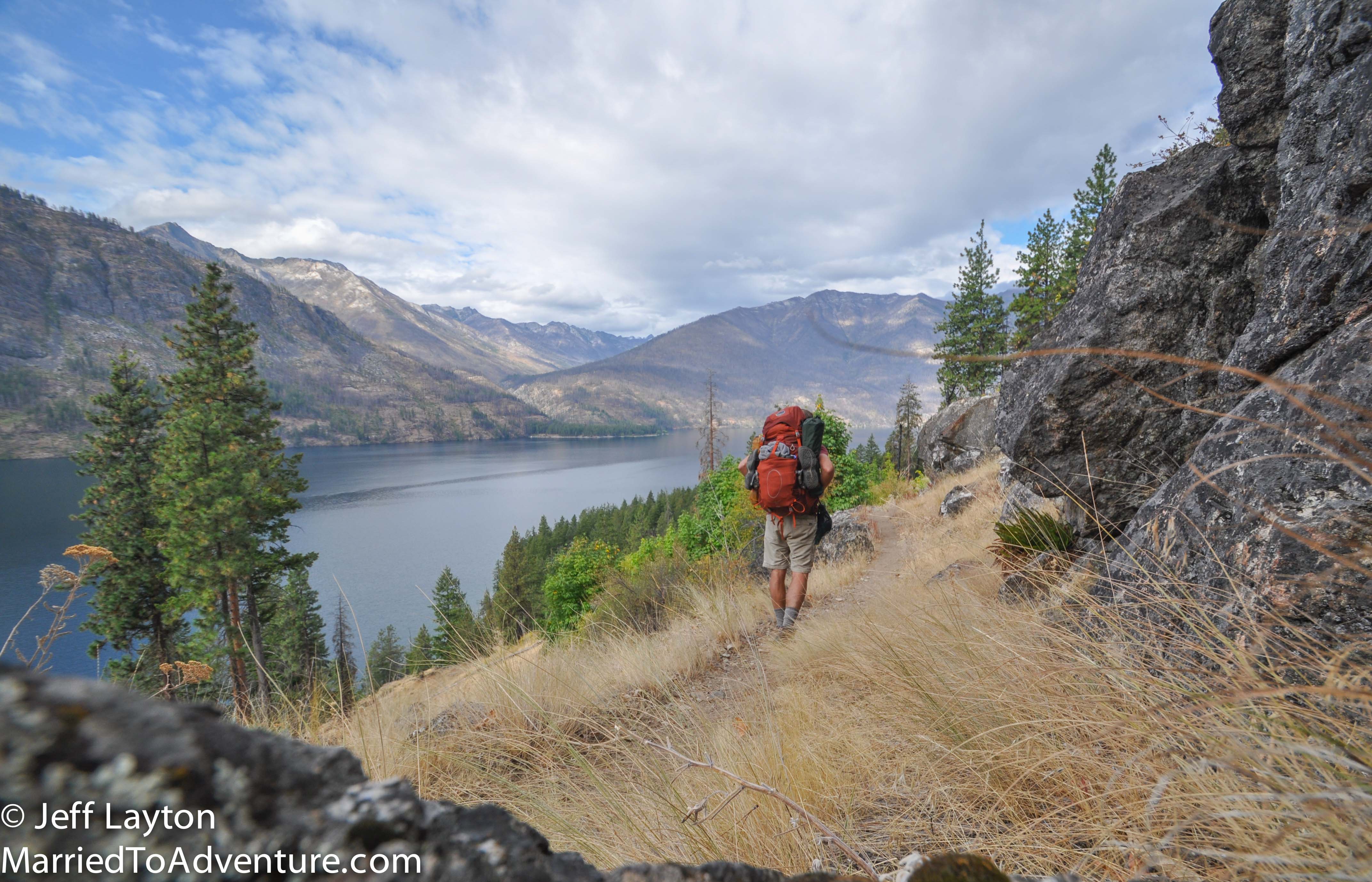
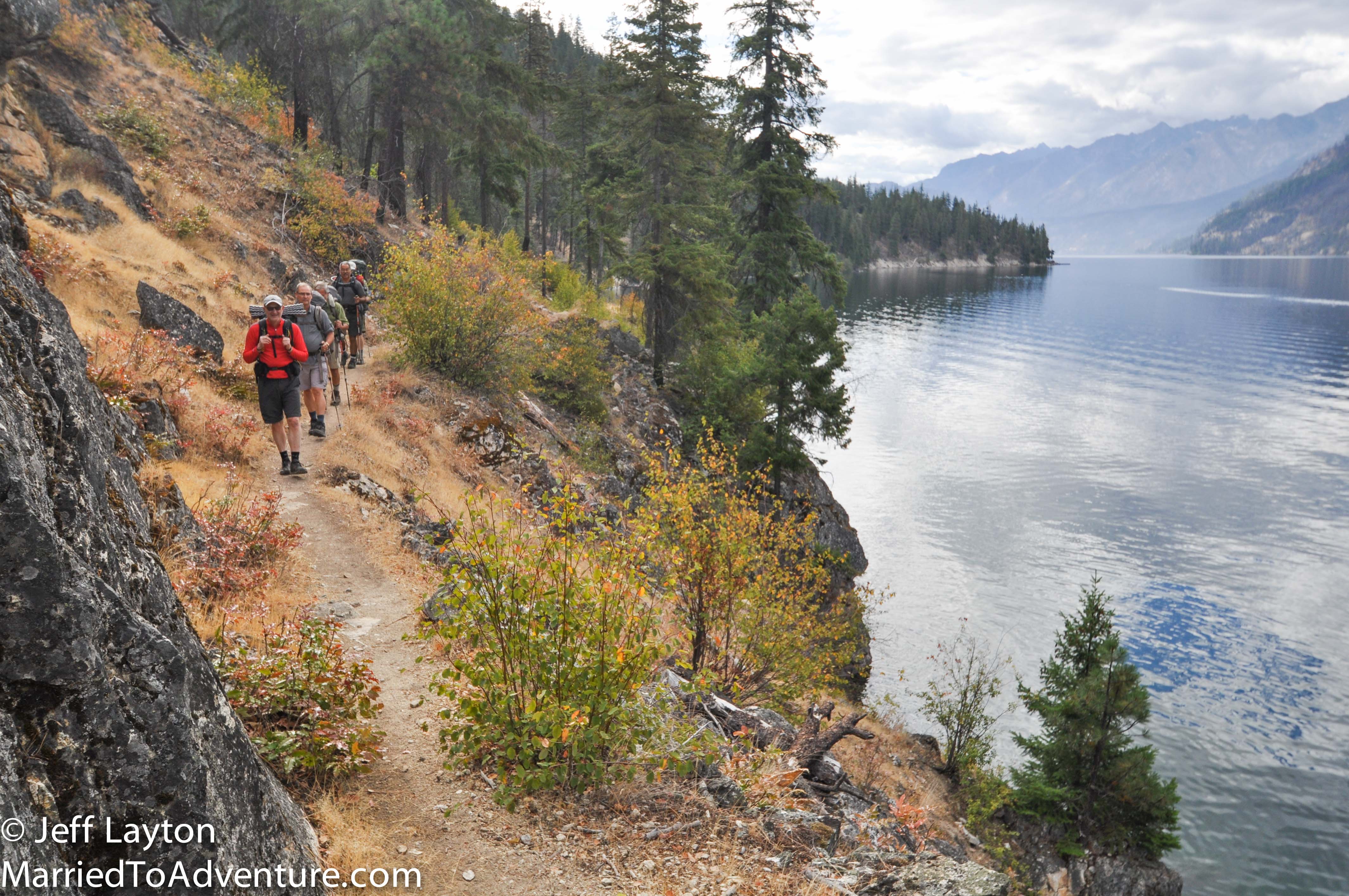
In spite of the name, very little of the Lakeshore Trail is actually near the water. Typically you’re hiking a few hundred feet above the lake, offering terrific views en route
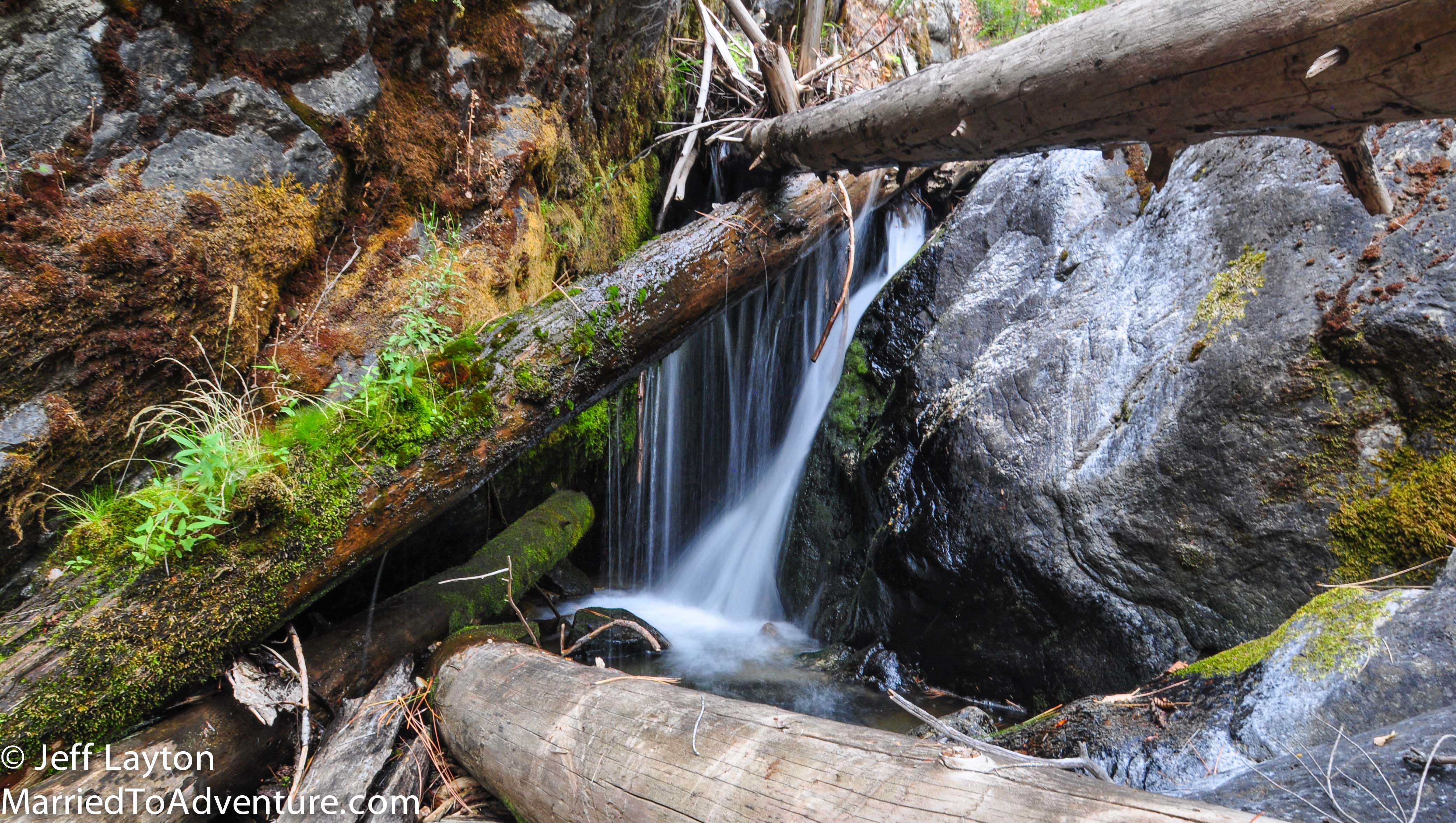
Summer hiking can be a hot endeavor (which is why the popular hiking seasons are spring and fall), but surprising little streams and grottos dot the route every few miles
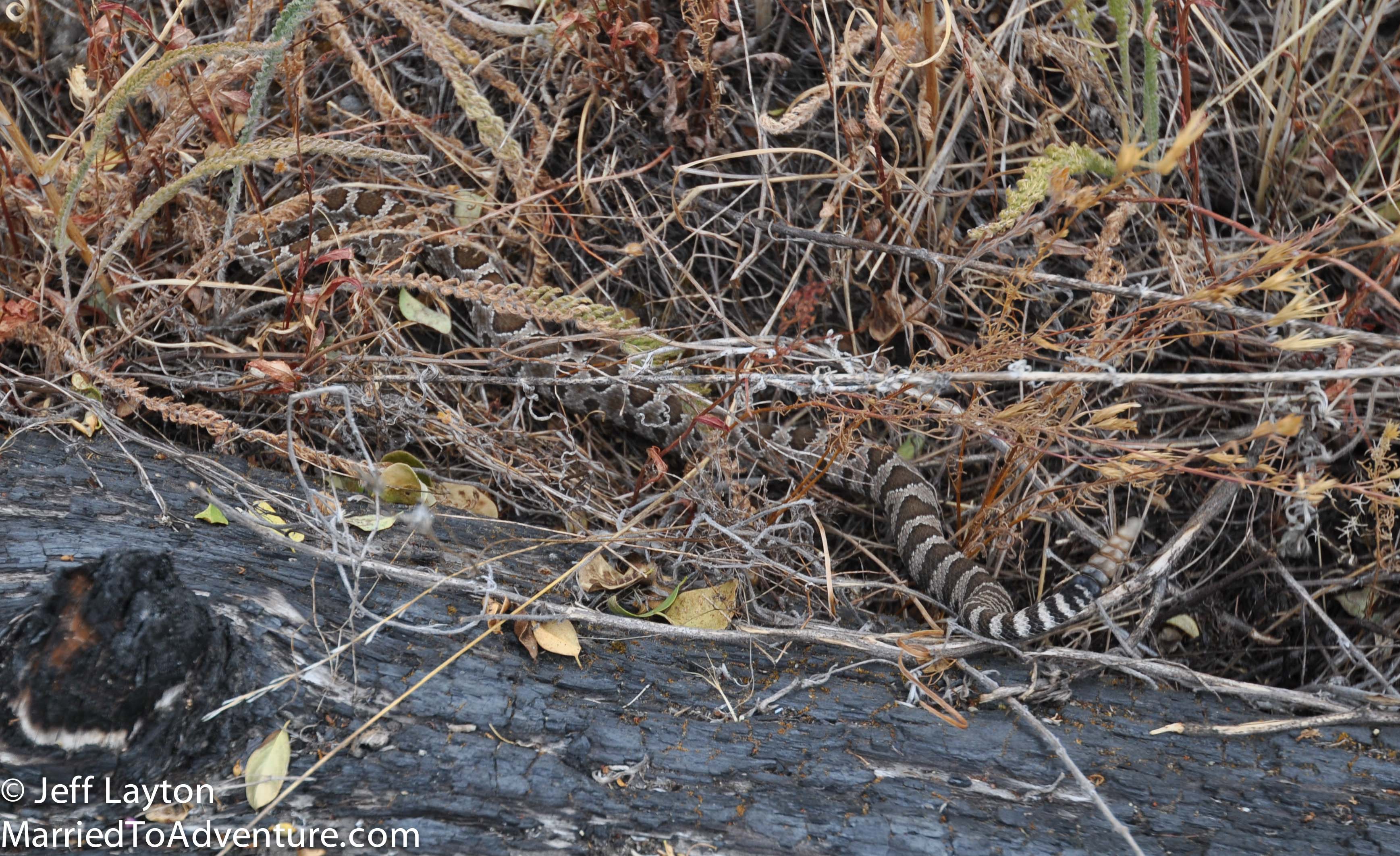
Rattlesnakes are famously abundant along the way (so are bears). I saw this snake about 2 hours into my second day. He didn’t stick around long but it was a thrill to hear the buzz from the side of the trail and it was only the 2nd rattlesnake I’ve seen in the wild.
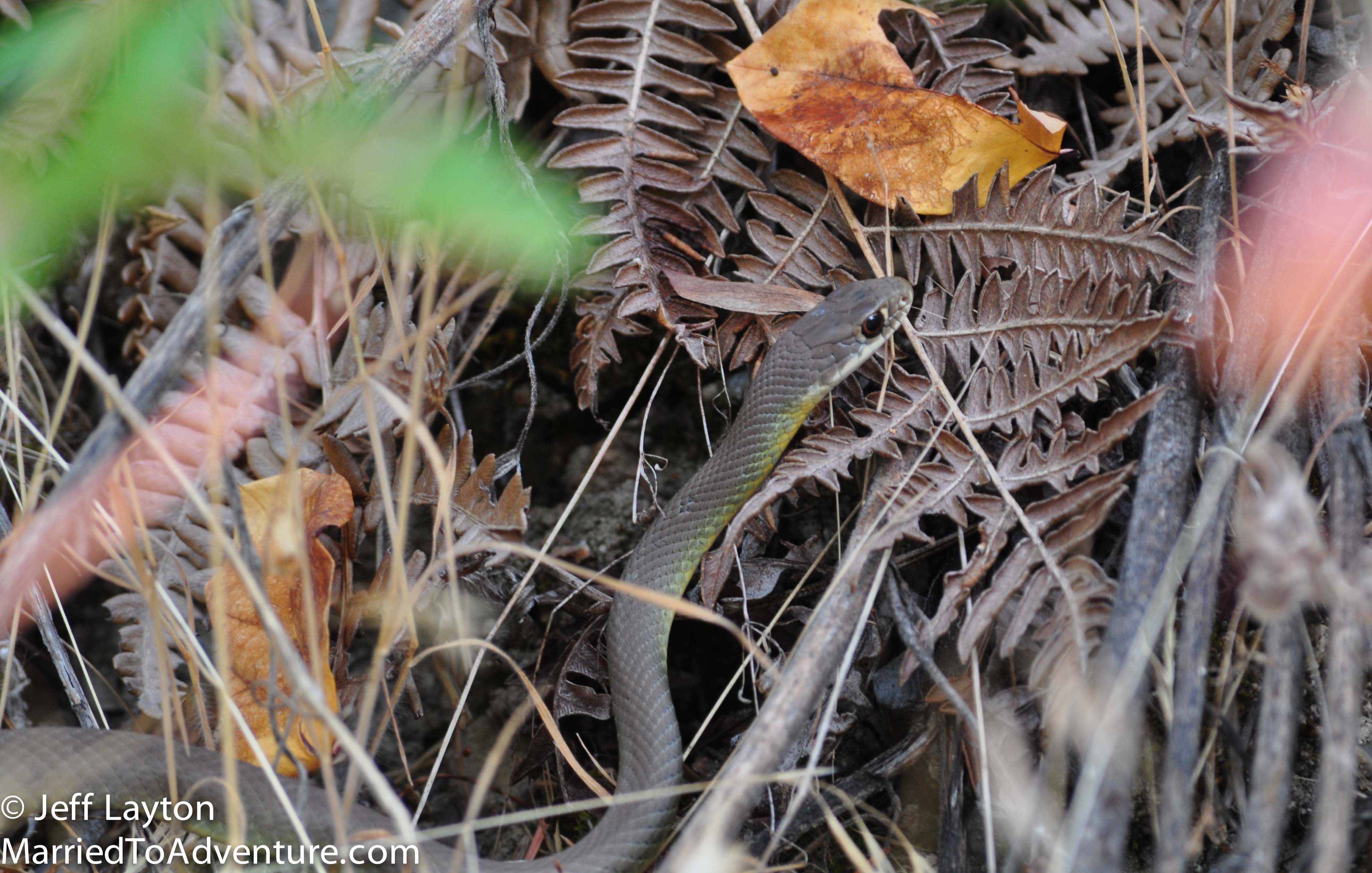
Not a rattlesnake, but still fun to see
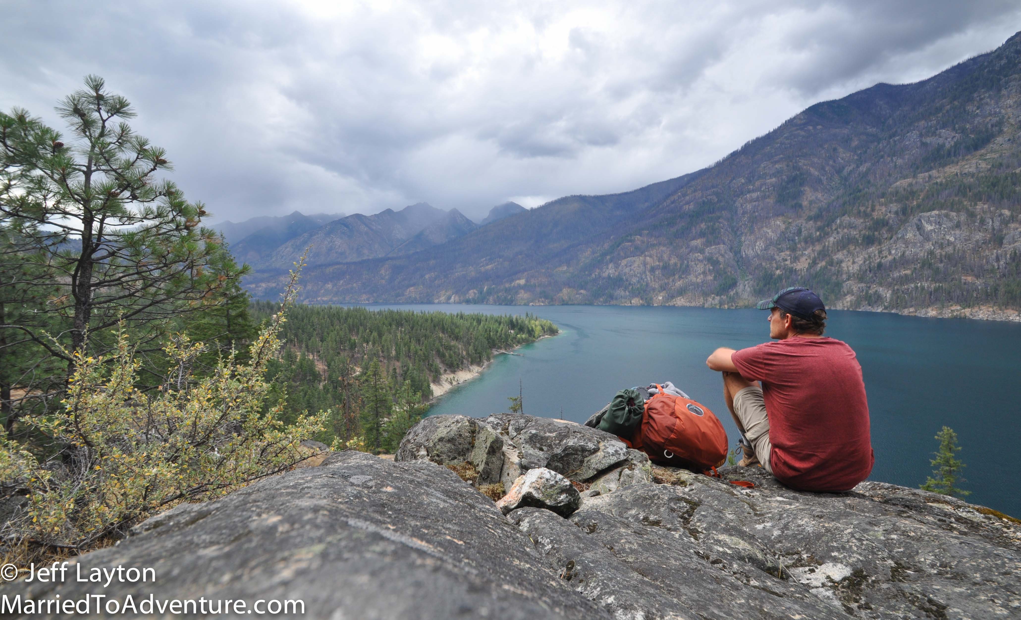
The trail only has about 500′ elevation gain but you do it about a dozen times. You climb to viewpoints like this one and then drop back down to the water – usually multiple times per day
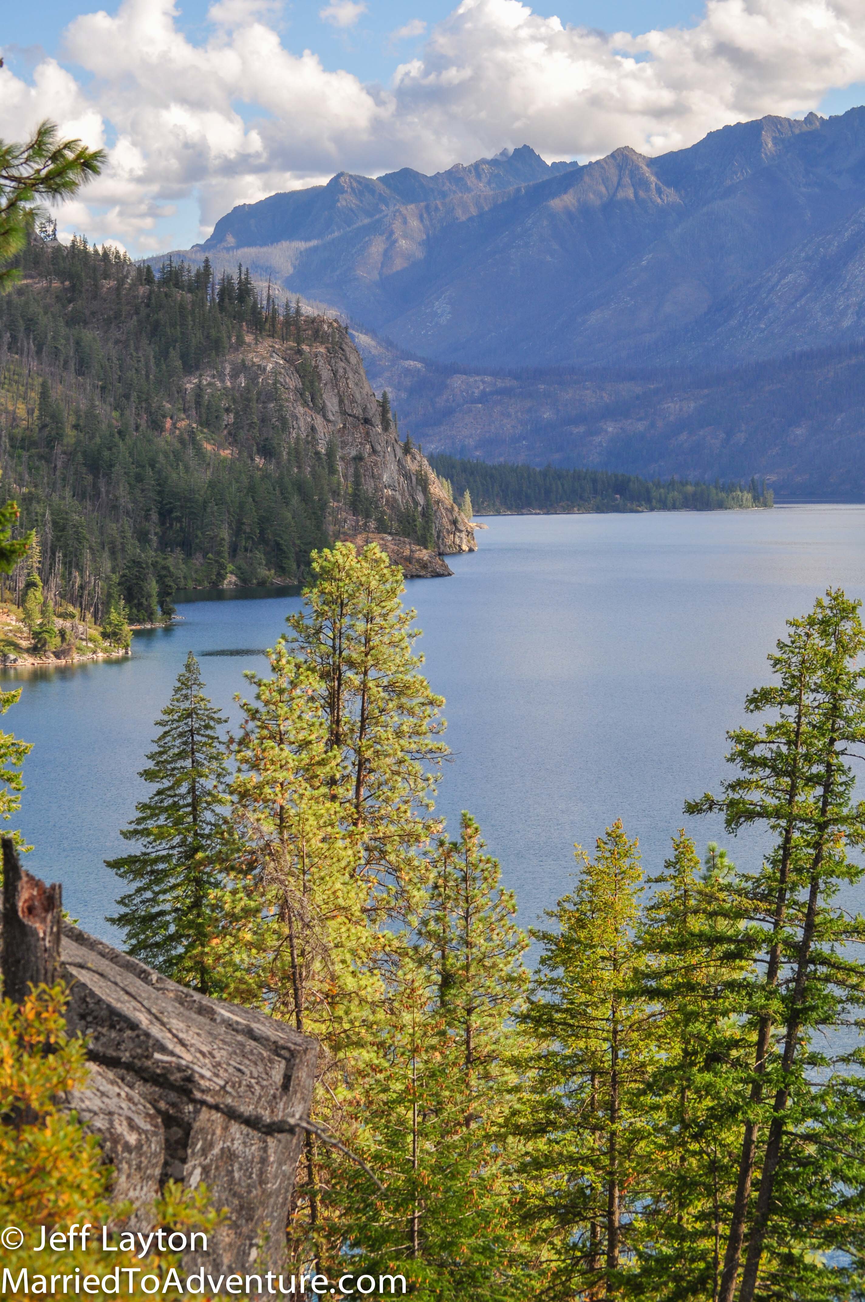
Cliffy crags and sheer drop offs are the norm along the trail – probably why much of the trail runs high above the lake
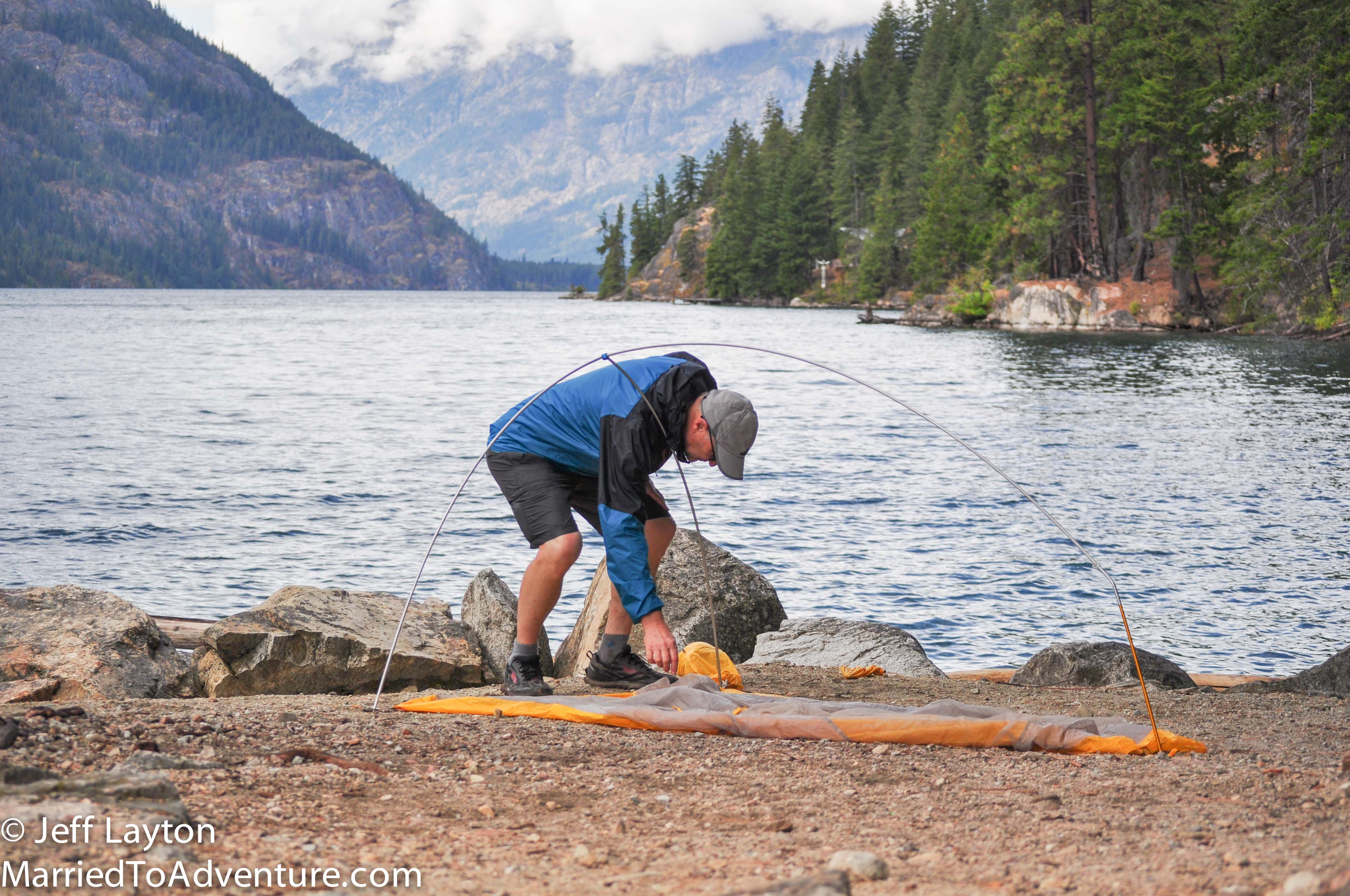
Every few miles a lakeshore campsites appear, allowing backpackers to sleep just feet from the water
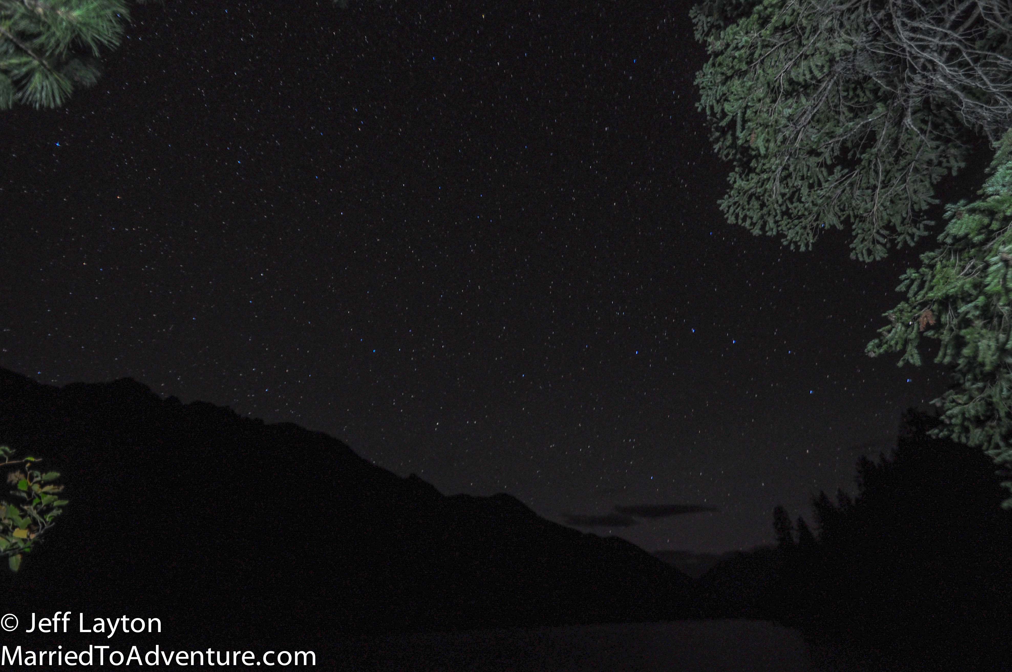
With no light pollution, the stars from camp are unreal
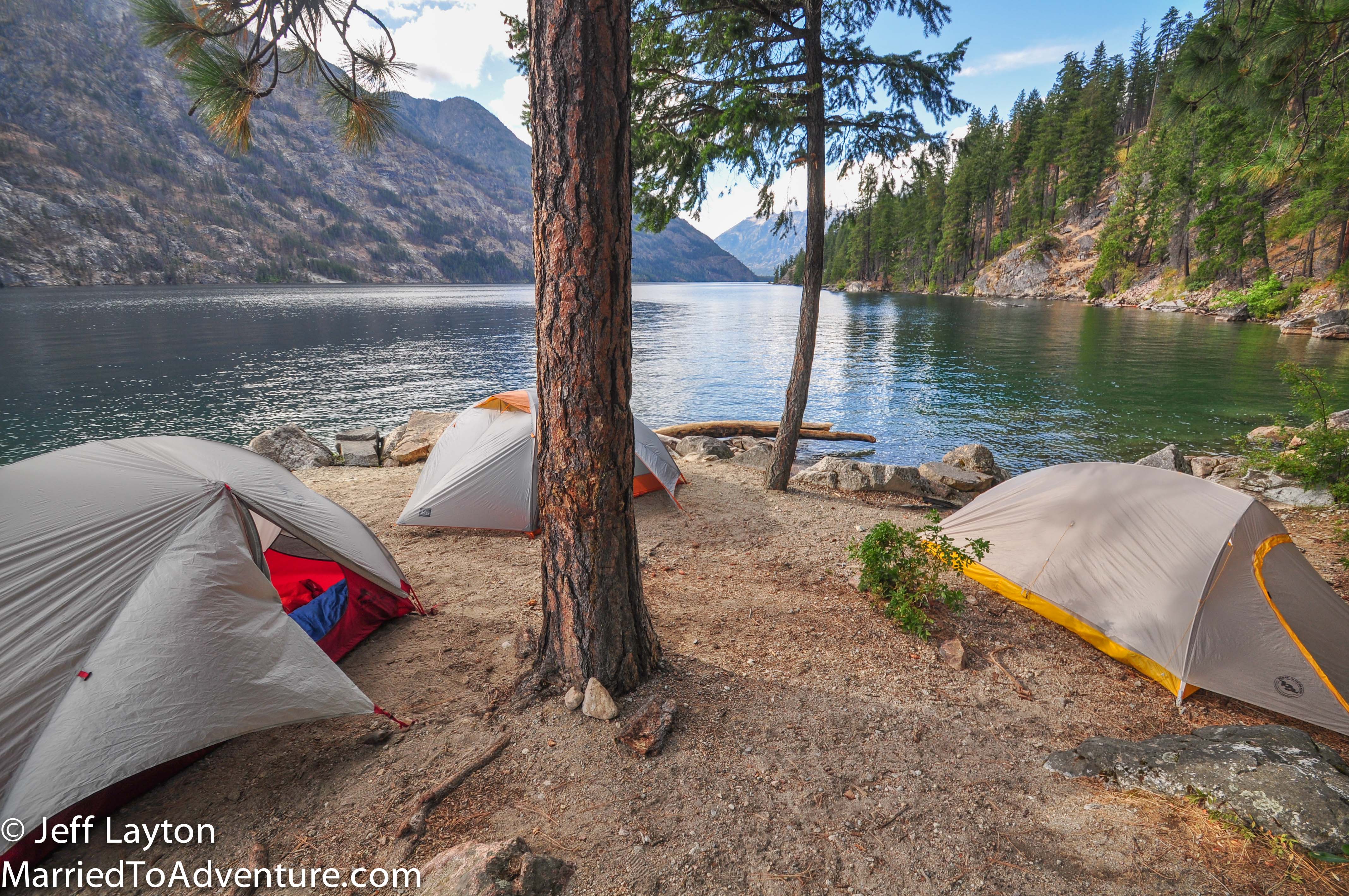
This campsite at Flick Creek is intimate so you may be sharing with new friends, but the views are hard to beat. Campsites are free and first-come first-served
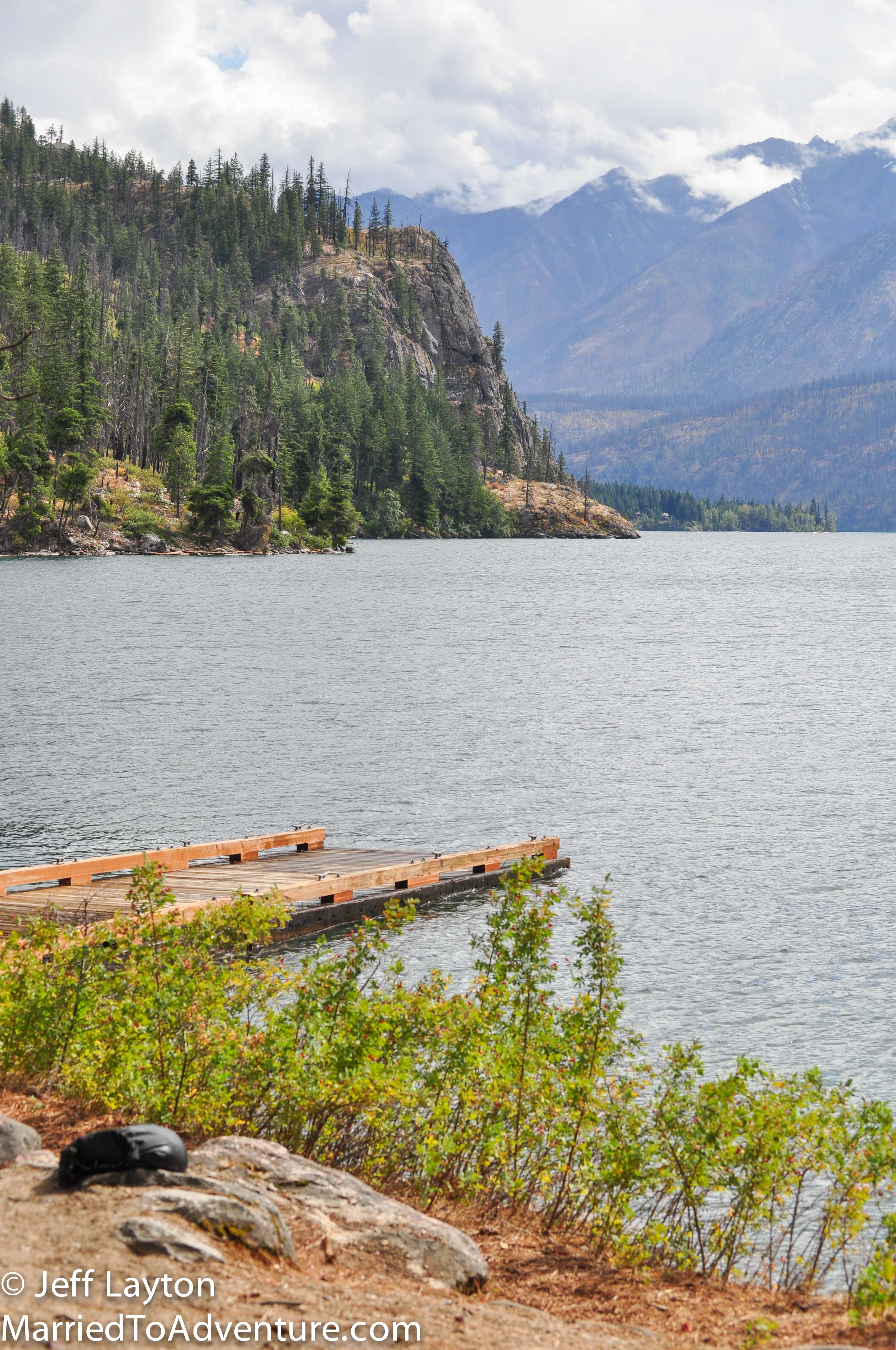
Several of the campsites have docks so they’re also an option for boat campers
The last three miles to Stehekin from Flick Creek run close to the water. This section is fairly flat so it would be a good option for kids as an out-and-back from Stehikin
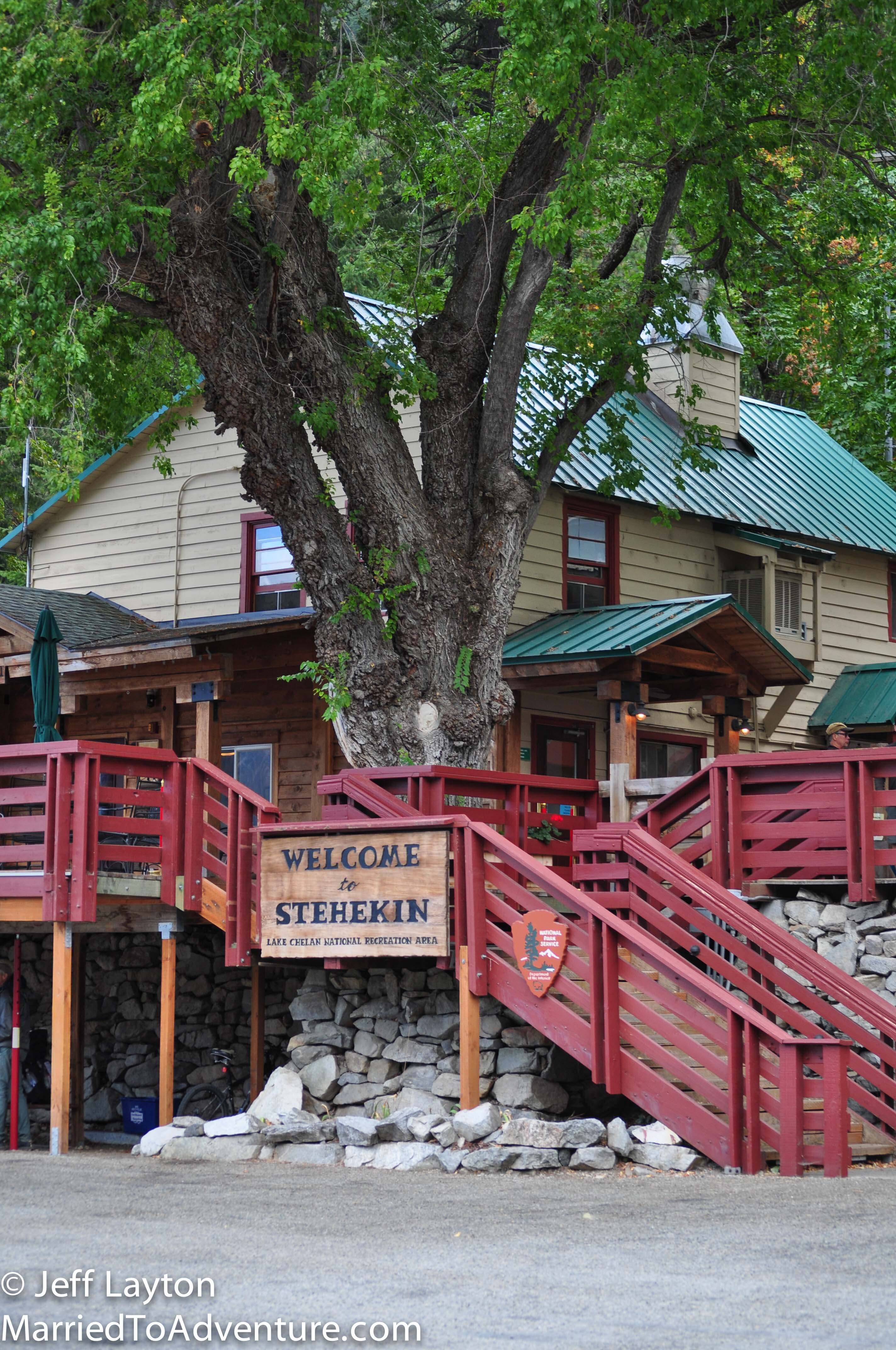
After 17 miles of hiking, Stehekin is a welcome site. Most hikers plan extra time to explore the homestead cabins, orchards and the old one room schoolhouse. The Stehekin Pastry Company is a must-visit for sticky buns (nom-nom-nom…I’ve been hiking…nom-nom-nom).
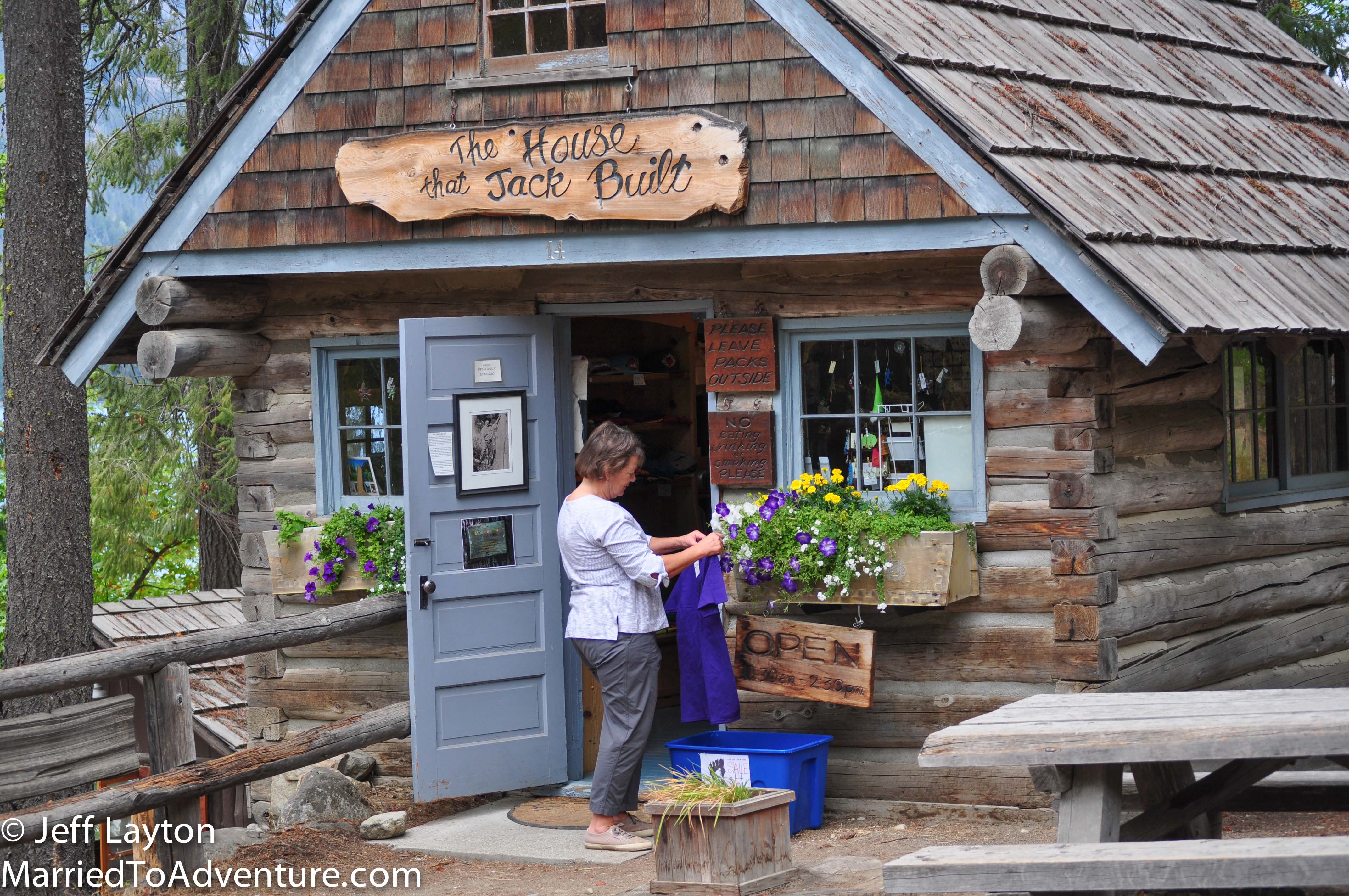
Stehekin is a super cute little community full of artists and writers who run a co-op in town
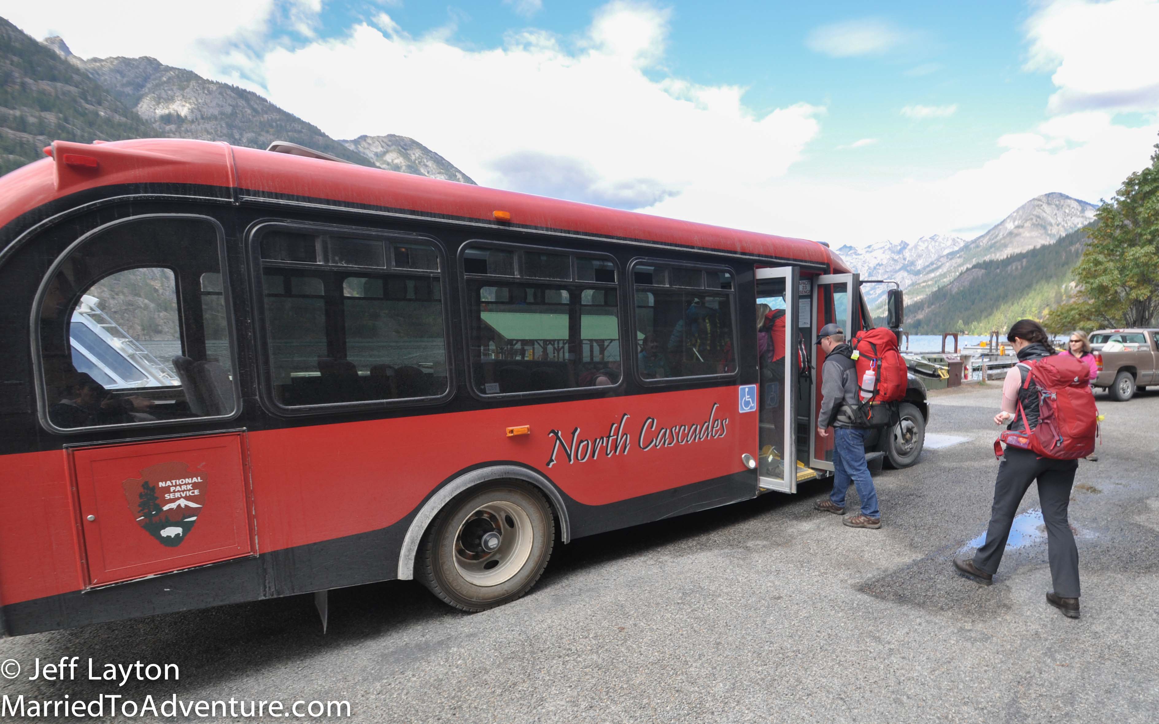
At the conclusion of the hike, backpackers can return to Chelan on the ferry, or ride the National Park Service bus into the valley to connect with North Cascade NP hikes